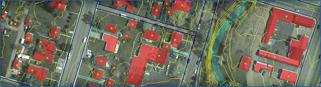
GIS Feature Coverage
A planimetric map represents the horizontal positions for GIS features. This is distinguished from a topographic map by the omission of relief in measurable form.
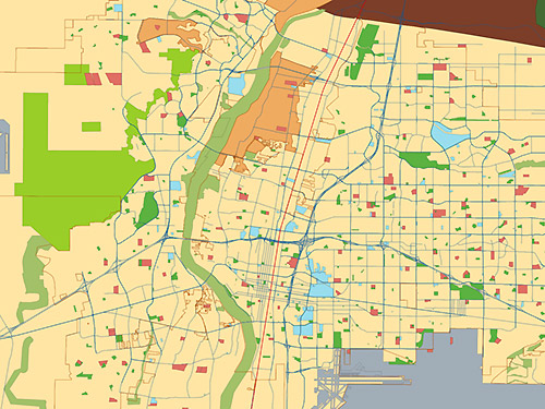
The features usually shown on a planimetric map include rivers, lakes, and seas; mountains, valleys, and plains; forests, prairies; cities, farms, transportation routes, and public utility facilities; hardscape, visible infrastructure and discernable boundary lines.