Digital Photogrammetry
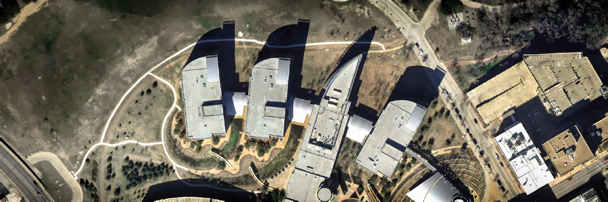
Digital photogrammetry is the science of obtaining high-precision measurements from photographs and other forms of imagery. Digital photogrammetry is revolutionizing the way we think about and work with maps. Photogrammetry has been used for a variety of applications such as engineering design, natural resource and environmental inventory, hydrographic surveys, and archaeological mapping. Most topographic maps available today were created using photogrammetry, which is considered the primary approach to GIS base data collection and updating.
The primary products of digital photogrammetry are digital elevation models (DEMs), ortho-rectified images (or ortho-images), and extracted features (vectors). The secondary products derived from primary products include contour maps (derived from DEMs), image contour maps (ortho-images with contour overlays) and 3-D scene models (DEMs with draped images and 3-D features). Our customers have diverse mapping needs that we meet with precision and timeliness.

