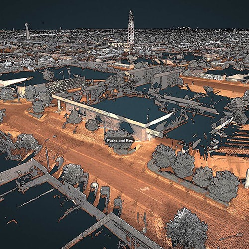
City of Hobbs Mobile LiDAR Scanning
Location: Hobbs, New Mexico
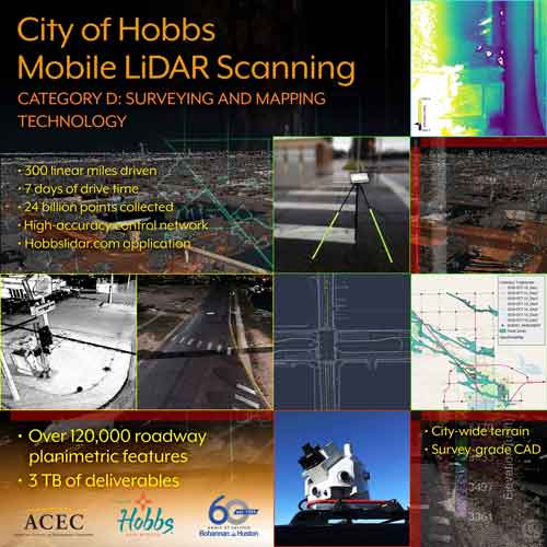
As one of the largest data collection endeavors in New Mexico, the City of Hobbs MLS project captured an enormous amount of data, approximately 300 linear miles of roadway in just 7 days. Each dataset was designed to update city-wide and Extra Territorial Jurisdiction (ETJ) elevation and contours with GIS feature data extraction, including 3D buildings and MLS roadway mapping of all city streets. At 24 billion points, this LiDAR capture surpasses the point totals typically captured in large area QL2 airborne acquisitions.
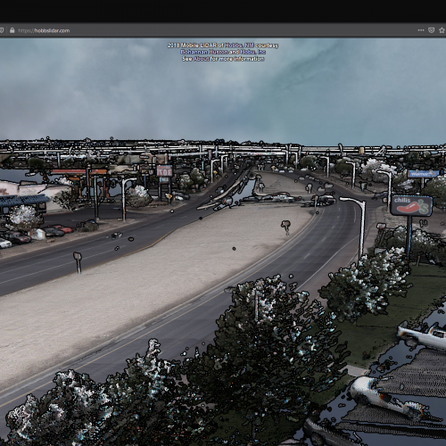
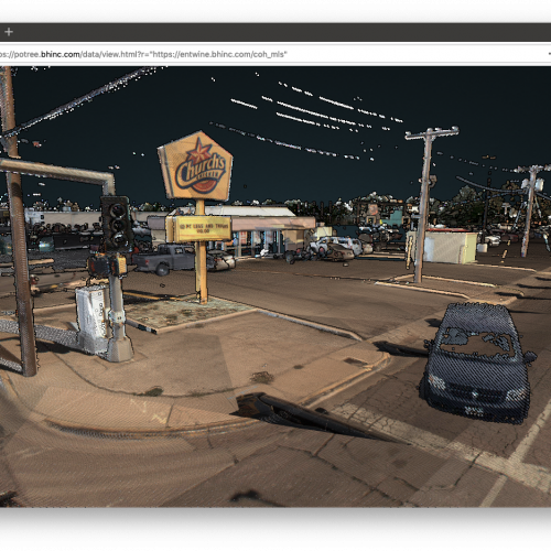
Public Open Source Data Access via the Web. The high-resolution 3D data was published to the web to demonstrate proof-of-concept data processing and access capabilities of the open-source Entwine Point Tile (EPT) data format in the Mobile LiDAR domain. The user-friendly, full point cloud dataset is available online using a WebGL-capable Firefox or Chrome internet browser at https://hobbslidar.com.
Accurate Data Supporting Public Works Management. Led by BHI and acquired by Transcend Spatial Solutions, the project MLS data was commissioned to provide a high accuracy baseline dataset for the development of mapping products in support of floodplain management, development of elevation surface data, capital improvement projects, and other City applications.
