Digital Orthophotography
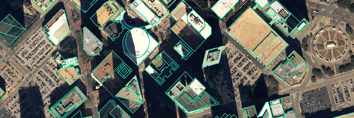
A digital orthophoto is an aerial photograph that has been geometrically corrected for terrain displacements and abnormalities at the time of acquisition, such as camera lens distortion, tilt, and vertical displacement. Measurements and features are accurately portrayed and the image becomes a planimetric map. Digital orthophotos are widely used by municipalities, county and federal governments for planning, and land management applications.
Digital Terrain Models (DTM)
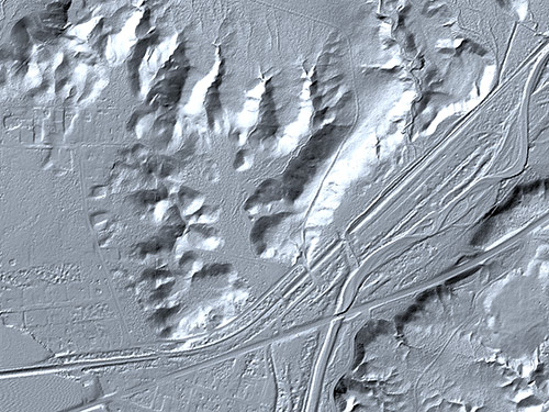
A DTM is a three-dimensional representation of the earth’s surface made up of multiple elevation points and break line information. Each elevation point has an x and y-coordinate and surface or a z-value.
Digital Elevation Models (DEM)
A DEM is digital representation of a continuous variable over a two-dimensional surface by a regular array of z-values referenced to a common datum. Digital elevation models are typically used to represent terrain relief. They are typically not as precise as a DTM.

